Mastering Hydrography: Advanced Training in Modern Marine Sciences

Course CodeMM00035

Available Dates & Locations

This course is available in multiple locations and online. Choose the most suitable date and delivery method.

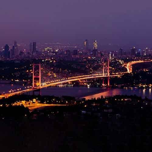
Istanbul

Dates

Istanbul

Venue / Hotel

DoubleTree by Hilton Istanbul Esentepe

19 Mayıs Mahallesi, 19 Mayis Street No 2 Sisli, 34360 Istanbul/İstanbul
Hotel Website
Duration
1 Week
Price
€6,825
Sharm El-Sheikh

Dates

Sharm El-Sheikh

Venue / Hotel

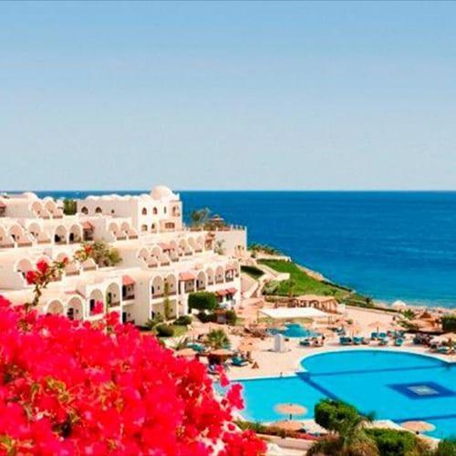
Sheraton Sharm Hotel

El-Salam, Qesm Sharm Ash Sheikh, South Sinai Governorate, Egypt
Hotel Website
Duration
1 Week
Price
€5,100
Dubai

Dates

Dubai

Venue / Hotel

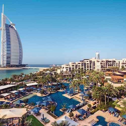
Sheikh Zayed Rd Near Financial Metro Station - Dubai - United Arab Emirates

Hotel Website
Duration
1 Week
Price
€5,830

Course Overview

Hydrography is a critical discipline within marine sciences, focusing on the measurement and description of physical features of oceans, seas, coastal areas, and inland waters. It plays a vital role in ensuring safe navigation, supporting offshore operations, coastal development, environmental protection, and marine resource management.

This program, developed by Global Horizon Training Center, provides an advanced and integrated approach to modern hydrography, combining scientific principles, cutting-edge technologies, and practical applications. It covers hydrographic surveying techniques, data acquisition and processing, seabed mapping, and the use of advanced marine instruments and software.

Participants will gain comprehensive knowledge and hands-on understanding of hydrographic methods, enabling them to contribute effectively to marine research, navigation safety, and offshore engineering projects.

Course Objectives

By the end of this program, participants will be able to:

  • Understand the principles and scope of hydrography and marine sciences
  • Apply modern hydrographic surveying techniques
  • Operate hydrographic equipment and systems
  • Acquire, process, and analyze hydrographic data
  • Interpret seabed mapping and bathymetric information
  • Utilize GIS and marine data visualization tools
  • Support navigation safety and marine infrastructure projects
  • Apply best practices in environmental and coastal monitoring

Who Should Attend

This program is designed for:

  • Hydrographic Surveyors and Marine Scientists
  • Marine Engineers and Offshore Professionals
  • Port and Coastal Management Personnel
  • GIS and Geospatial Specialists
  • Environmental and Oceanography Professionals
  • Government and Maritime Authority Staff

Course Outline

  • Introduction to Hydrography and Its Applications
  • Role of Hydrography in Navigation and Marine Development
  • Oceanographic and Geospatial Fundamentals
  • Coordinate Systems and Positioning (GPS/GNSS)
  • Overview of Hydrographic Survey Standards (IHO Guidelines)